


By Liam Newton, Geoscience Australia
We rely on data every day to understand our world and inform our work. It helps us to tell stories about our lives and the people in them. When data however is scattered across different portals, teams and technologies it becomes harder to see a bigger picture and make informed decisions.
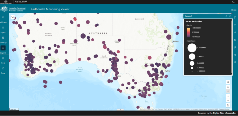
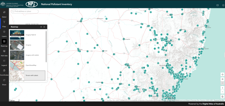
The Digital Atlas of Australia is helping to change that. Delivered by Geoscience Australia on behalf of the Australian Government, it brings together trusted national data into an easy-to-use online platform. It gives you a clearer view of how data connects across geography, people, the economy and the environment. User-friendly maps and applications help to make insights accessible to all Australians, regardless of geospatial experience.
Connecting data to build greater insights
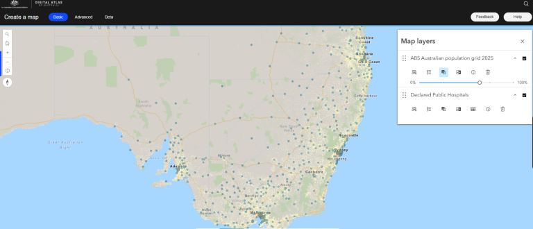
More than just a mapping tool, the Digital Atlas is Australia’s first Integrated Geospatial Infrastructure, a digital ecosystem that allows data and services to be shared across systems, technologies and borders. Agencies contribute curated data, use the platform to support their work, or connect data into their own systems. This reduces duplication and makes it easier to explore the data in your own way.
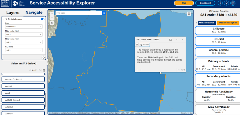
Place-based decisions underpin much of our work. Whether it is planning infrastructure, designing services or preparing for future needs, we all need information that is reliable and relevant. An infrastructure project may need to consider local environmental conditions, existing services and how people in the area live and work. The Digital Atlas brings this trusted national data together to layer on a map in a way that suits you.
Datasets are curated in partnership with custodians, who remain responsible for their integrity and management. Strong governance and shared standards help ensure the information is reliable, current and consistent, so you can use it with confidence.
Powering cross-agency collaboration
The Digital Atlas has two environments. The public platform is open to all Australians, offering user-friendly maps, dashboards and applications to explore data. For government users, the Digital Atlas for government provides a secure environment with professional geospatial tools and a space to access, upload, develop and share content.
This shared environment empowers collaboration across different teams. You can work together in real time in controlled groups and publish items for select audiences. For agencies without in-house geospatial skills, the Digital Atlas team can support them to publish data and create their own products.
Building on success
The Digital Atlas was built through co-design and data contributions from partners across government. It continues to grow, with new datasets and partnerships added regularly.
The Digital Atlas is supporting major national priorities, strengthening government collaboration and geospatial capabilities. It has already earned international recognition, receiving a Special Achievement in GIS Award from the Esri User Conference in 2025. This shows recognition from world-leaders in geospatial technology, highlighting the impact and potential of the Digital Atlas.
Making geospatial tools accessible for all Australians
The Digital Atlas team is focused not only on improving the platform, but also on helping people use it with confidence. They are developing learning content for government users and supporting public servants to build their understanding of spatial data in practical ways.
That work is also extending beyond government. In partnership with Geoscience Australia’s Education and Outreach team, the Digital Atlas has launched its first classroom-ready application, helping bring spatial literacy into schools and introducing more Australians to the value of place-based information.
Together, these efforts show that the Digital Atlas is not only a source of trusted data, but a growing capability for how Australians access, understand and use it.